
Detroit ZIP Code Coverage
Detroit ZIP code areas are postal delivery areas, not legal neighborhood or city-limit lines. The following research inventory uses labels shown on the captured Michigan lower-peninsula ZIP map or in Detroit and Wayne service materials. It is an orientation tool, not a parcel-by-parcel municipal crosswalk. Use the USPS location and ZIP tool for a current address and the Detroit parcel layer for municipal context. The post-office column deliberately directs verification because the research does not assign a separate office to every row.
| ZIP Code | Areas covered | Post Office | Notes |
|---|---|---|---|
| 48201 | Central and east-central Detroit delivery area | Verify with USPS | Postal area, not a city neighborhood boundary |
| 48202 | Midtown, New Center, and nearby central area | Verify with USPS | Includes institutions and major corridors |
| 48203 | East and northeast Detroit delivery area | Verify with USPS | May meet municipal edges |
| 48204 | West Detroit delivery area | Verify with USPS | Crosses planning geographies |
| 48205 | East Detroit delivery area | Verify with USPS | Use a parcel for neighborhood or ward distinction |
| 48206 | North-central and west-central Detroit | Verify with USPS | Does not define a neighborhood |
| 48207 | East-central Detroit and river-adjacent areas | Verify with USPS | Includes multiple planning areas |
| 48208 | Southwest, near-west, and institutional area | Verify with USPS | Check city line and campus address |
| 48209 | Southwest Detroit and border delivery area | Verify with USPS | Exact city boundary varies by address |
| 48210 | Southwest and west Detroit | Verify with USPS | Use street and parcel for local routing |
| 48211 | North-central and industrial-adjacent Detroit | Verify with USPS | Mixed land uses and border conditions |
| 48212 | Detroit and Hamtramck-associated postal area | Verify with USPS | Never equate the ZIP with Detroit city limits |
| 48213 | East Detroit | Verify with USPS | Confirm ward, precinct, and parcel separately |
| 48214 | East-side and waterfront-adjacent Detroit | Verify with USPS | Not a neighborhood boundary |
| 48215 | East riverfront and adjacent east-side area | Verify with USPS | Check municipal boundary at each address |
| 48216 | Corktown, near-west, and adjacent central area | Verify with USPS | Historic areas may have older postal designations |
| 48217 | South Detroit and industrial corridor area | Verify with USPS | Exact municipal and parcel context matters |
| 48219 | Northwest Detroit | Verify with USPS | Includes several neighborhood-plan areas |
| 48221 | North Detroit, Palmer Woods, and adjacent areas | Verify with USPS | Spans multiple local contexts |
| 48223 | Northwest Detroit | Verify with USPS | Border and neighborhood-plan checks are needed |
| 48224 | East and northeast Detroit | Verify with USPS | Does not establish association or ward |
| 48225 | Northeast Detroit and Harper Woods-adjacent delivery area | Verify with USPS | Check edge-address municipality |
| 48226 | Downtown Detroit, CAYMC, and central business area | Verify with USPS | Includes government and institutional addresses |
| 48227 | West Detroit | Verify with USPS | Multiple neighborhoods and street-address ranges |
| 48228 | West Detroit and Dearborn-adjacent delivery area | Verify with USPS | Confirm city boundary along edge roads |
| 48234 | Northeast and east Detroit | Verify with USPS | Confirm address and parcel jurisdiction |
| 48235 | Northwest Detroit | Verify with USPS | Multiple neighborhood associations and plans |
| 48238 | Northwest and central-west Detroit | Verify with USPS | Postal key, not a census tract or neighborhood |
USPS location and ZIP search is the live route for testing a full address and current postal assignment.
The USPS tool verifies deliverability and postal routing. It does not decide which Detroit, Wayne County, or neighboring municipal office holds the corresponding parcel record.
The marked exception is 48212. It is associated with Hamtramck as well as nearby Detroit delivery addresses, so a ZIP-only statement can assign the wrong municipality. The same caution applies to 48209 and other border or service ZIPs. Delivery assignment is controlled by USPS, while the parcel and municipal record determine which local government record applies.
Detroit ZIP Parcel Data Fields
The Detroit base-unit parcel data page provides the city’s parcel schema. Its verified fields include Parcel ID, Address, ZIP Code, Taxpayer 1, Taxpayer 2, and Taxpayer Address. Those fields help normalize a street record after a USPS check. They do not turn a ZIP into an occupancy record, because a taxpayer mailing address can differ from the parcel situs and a parcel can have more than one unit or use.
Detroit’s parcel-data source shows the ZIP and taxpayer fields used for address normalization.
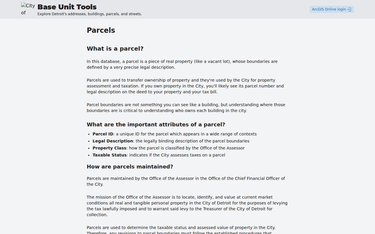
The parcel layer follows the assessment and GIS revision cycle. BS&A can move to a new tax year before GIS revisions are final, so the same address should be read with the tax year and access date. For an address question, the Parcel Viewer provides a map click and parcel ID bridge, while the Detroit BS&A page supports address, name, and parcel-number searches.
Note: ZIP and taxpayer fields describe a parcel record, not a complete list of people at that address.
Find Detroit Records by ZIP
A Detroit ZIP code directory can narrow an address workflow, but the documented portals do not all offer a general ZIP-wide people list. Use the full address and parcel first. The Treasurer, BS&A, Parcel Viewer, and Accela routes serve different property, tax, map, and permit questions. MVIC’s address route uses ZIP as one identity field for local clerk and early-voting information, not as a browse tool.
- Check the full address in the USPS tool and retain the delivery ZIP returned for that address.
- Open the address or parcel ID in the Detroit Parcel Viewer and confirm the parcel’s municipal context.
- Use BS&A or the Wayne County Treasurer property listing for the property or tax question. Preserve any punctuation the portal displays in a Detroit parcel ID.
- For election information, use MVIC’s address route with street address, city, and ZIP, then read the local-clerk result as election information only.
Once a ZIP has narrowed the address, the Detroit street directory has the fuller address-by-address record chain. A ZIP is a filter and confirmation field. It is not a substitute for the street, parcel, and date.
Detroit ZIP Search Field Checklist
Enter the information in the form that the custodian documents. Detroit BS&A does not document a ZIP field on its public home search; it uses address, name, or parcel number. The base-unit data treats ZIP Code as a parcel attribute. MVIC has a ZIP input within an identity-directed address workflow. This distinction prevents a ZIP field from being mistaken for a bulk person-search option.
| Official source | Field or control | ZIP role |
|---|---|---|
| Detroit BS&A | Service, then Address, Name, or Parcel Number | No public home-search ZIP field documented |
| Detroit Parcel Viewer | Address or parcel ID, then map click | Parcel result supplies mapped context |
| Detroit base-unit parcel data | Parcel ID, Address, ZIP Code, Taxpayer fields | ZIP is a recorded parcel attribute |
| MVIC address form | Street address, optional apartment or lot, city, state, ZIP | Required ZIP supports clerk and early-voting lookup |
| Accela property lookup | Street number and name first; optional direction, type, unit, city, state, ZIP, parcel | Leave optional components blank when starting a basic address query |
The city’s address layer can include prefixes, directionals, street types, historical aliases, rear addresses, and unit differences. Start simple, then test a documented variation. A failed result is often a formatting problem, an old number, or a parcel outside the city rather than proof that an address does not exist.
Detroit ZIP Code at MVIC
The Michigan Voter Information Center name form requires first name, last name, birth month, birth year, and ZIP code. Its early-voting and clerk lookup asks for a residential street address, optional apartment or lot, city, optional state, and ZIP. That makes a Detroit ZIP code relevant to an individual’s own voter and clerk search, but it does not authorize a ZIP-wide directory of voter identities.
Public voter files have their own FOIA process and protected fields. Michigan withholds the month and day of birth, driver-license or state-ID number, phone, email, digitized signature, and other sensitive fields. An ACP participant may use a substitute address. Keep the purpose limited to the official record and avoid inferring a person’s location from a protected or partial response.
Note: An MVIC ZIP field supports a directed voter inquiry and does not create a ZIP-wide resident result.
Detroit ZIP Code Boundary Limits
ZIP codes are delivery geography. They are not Detroit municipal boundaries, wards, census tracts, parcel IDs, or neighborhood definitions. The City of Detroit notes that neighborhood boundaries can be informal and can overlap. Familiar names such as Corktown, Southwest, or North End may help locate planning material, but they should not be substituted for the full address, parcel, or city record.
- ZIP and ZIP+4
- A five-digit ZIP directs mail to a postal area; ZIP+4 adds a more precise delivery segment.
- PO-box ZIP
- A ZIP used for post-office-box delivery rather than a complete physical-area boundary.
- Unique ZIP
- A postal ZIP assigned to a single institution or organization, not a general neighborhood label.
- Carrier route
- A mail-delivery sequence that helps USPS route mail and does not define a municipality.
Boundary check. For a Detroit ZIP code near Hamtramck, Dearborn, Harper Woods, or another edge area, verify USPS delivery and the exact parcel before naming a municipality.
Detroit ZIP Code History Limits
For historical Detroit research, a ZIP is usually a confirmation clue rather than the first search key. Five-digit ZIP codes do not work as a key for records before 1963, and a directory entry may use a postal zone, an old delivery form, or no postal code. Search the street and year in a directory first, then add a modern ZIP only if the source itself supports it.
Detroit’s citywide address renumbering effective January 1, 1921 is the larger historic address trap. The 1920–21 directory’s reverse old-to-new address volumes bridge earlier numbers. Translate the address before testing it in a current parcel system. A ZIP cannot repair an unconverted historic number or a changed street name.
Note: Retain the original address, translated address, street variant, parcel ID, and record year as separate research fields.
Detroit ZIP Code City Layers
A Detroit ZIP code can cross planning areas, ward context, land uses, and civic labels. Downtown ZIP 48226, for example, includes government and institutional addresses, so it should not be described as a household-only area. The parcel, street segment, and current use give the needed context. Detroit’s street and parcel data can show address ranges and parcel geometry, while neighborhood names remain discovery terms rather than fixed legal boundaries.
Use a ZIP to begin a location check, then use the address, parcel ID, and the relevant city or county record for the question at hand. This keeps postal orientation separate from claims about a block or the people connected with it.